Olimarao Atoll Locator Map
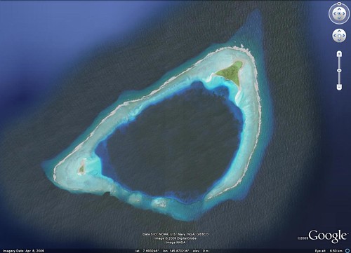
You all remember my last post, Olimarao Atoll? I spent a few days prior to posting it doing research into available online mapping. I checked out the standard mapping packages for Olimarao Atoll vicinity maps. Check out my results below...
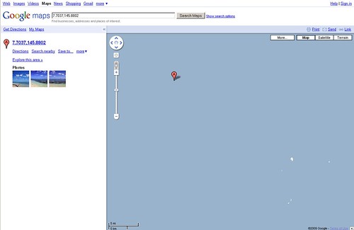
Olimarao Atoll - Vicinity Map from Google Maps - Some land polygons, no labels.
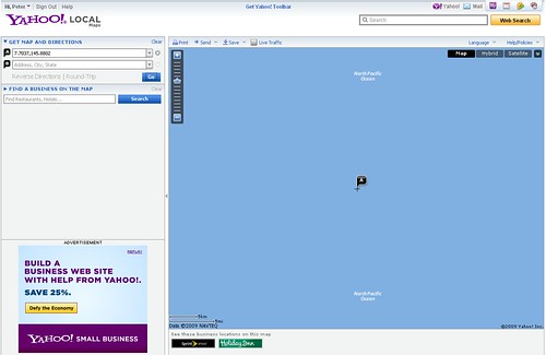
Olimarao Atoll - Vicinity Map from Yahoo Local Maps - Nothing here.
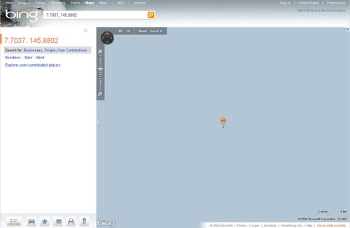
Olimarao Atoll - Vicinity Map from Bing Maps - And nothing here.
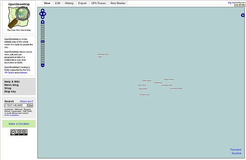
Olimarao Atoll - Vicinity Map from OpenStreetMap - Land polygons and labels.
Google, Yahoo and Bing Maps rely on satellite imagery. The underlying maps of these oceanic island areas are largely neglected in map coverage. Google Maps provides land polygons from a mapping file similar to WVS 1:250,000. OpenStreetMap uses NGA PGS polygons along with NGA Country name files. Clearly the superior map product for oceanic islands is found on OpenStreetMap. But wait! What about a vicinity map using what I call EVS rough precision digitizing. Using Landsat ETM+ imagery, I could quickly digitize island polygons and reefs giving a much clearer map of the island.
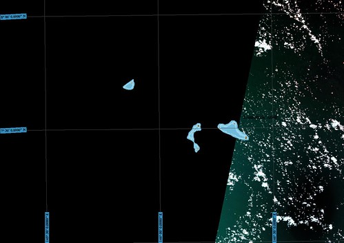
Elato, Lomolior and Olimarao Atolls - Landsat N55-05_2000 Coverage
Landsat N55-05_2000 is the imagery I initially tried to work with. As you can see, The vicinity is not covered. It is a blank. So I did what any good mapper would do, improvised. Using Google Earth, I found the blank area and DigitalGlobe had hi-res imagery of the islands located within the blank area.
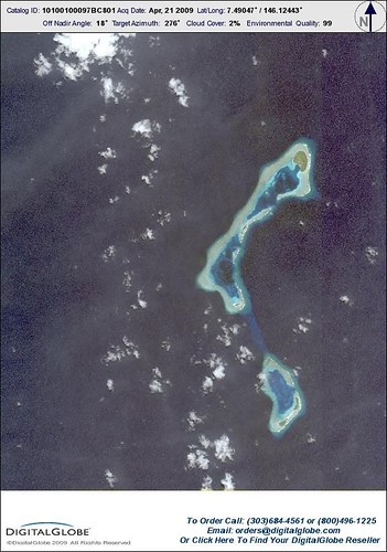
Elato and Lomolior Atolls - DG Preview Image from GE
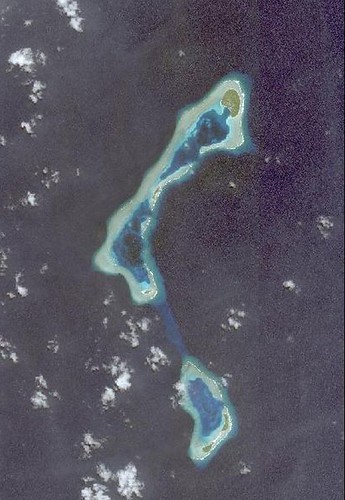
Elato and Lomolior Atolls - DG Preview Image from GE Cropped
I decided to use the DG Image Preview from GE. I copied it, cropped it and georectified it. From there, I was able to complete the digitizing within a few minutes. I did this for all islands within the Landsat blank area. Atolls should have reefs digitized as they make up a critically important aspect of this feature. My finished map uses five layers - 1) land polygon 2) reef shallow 3) reef deep 4) ocean and 5) name labels. My island name layer is an extract from NGA's country files.
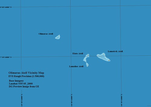
Olimarao Atoll - Vicinity Map from EVS Rough Precision (1-500,000)
This was all done using Global Mapper. The scale for the above map is 1:500,000. Now that is what I call a real oceanic island vicinity map.
Enjoy!