Manihi Atoll Locator Map
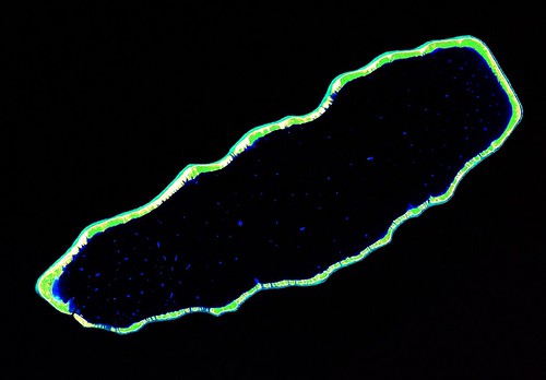
Manihi Atoll - Landsat ETM+ Image S-06-10_2000 (1:110,000)
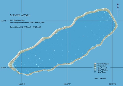
Manihi Atoll - EVS Precision Map (1-110,000)
Manihi Atoll is one of French Polynesia's premier destinations for the tourist wishing to view pearl farming first hand. According to the Tahiti Tourism North America, Manihi Atoll has over 60 working pearl farms. While one is looking for those perfect pearls, the Manihi Pearl Beach Lodge beckons. This atoll is one of the first landfalls for the visiting yatchsmen traveling from the Marquesas to Tahiti.
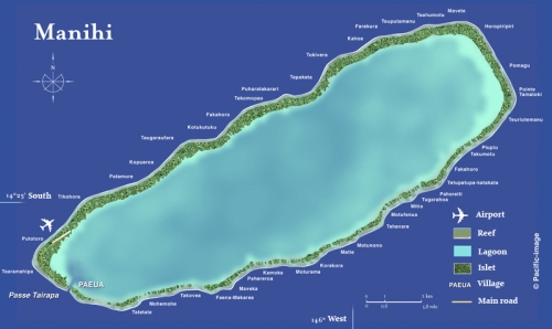
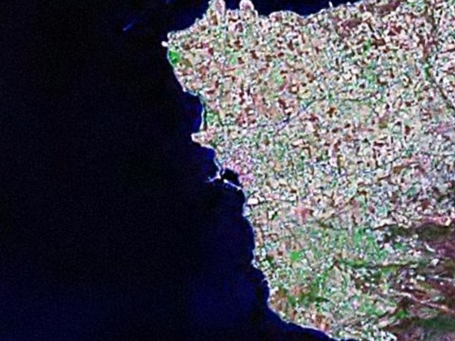
Manihi Atoll - Pacific-Image Map
In doing research for Manihi Atoll I came across the Pacific-Image map. As to names of the various motus, it is complete. As to cartographic quality, it looks like a map, it seems like a map, and it is a map, one designed for the tourist. If you are into high quality tourist maps of Pacific Islands, specifically the islands of French Polynesia, for only $237.60 you can purchase a CD loaded with 72 of these very attractive maps.
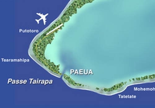
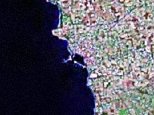
Manihi Atoll - Detail from Image Pacific Map
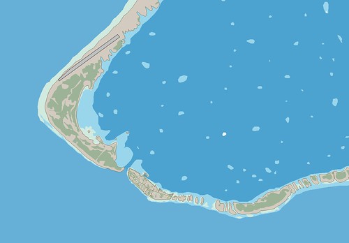
Manihi Atoll - EVS Precision Map - Detail Tairapa Pass and Paeua (1:30,000)
Although the Tahiti Pacific-Image maps are excellent for their purpose, I like mine better. Compared to the Tahiti Pacific-Image map, my EVS precision map of Manihi Atoll takes into account a wider variety of layers of information. In addition, my maps are vectors, whereas Tahiti Pacific-Image's maps are raster images.
As to the production of this map, it was not particularly difficult to digitize and ultimately create the island map. However, my very busy life caught up with me and what should have been a 10-hour project, took two weeks to complete. I have other island projects in the works, but they will be completed and posted at this much slower pace. Until then...
Enjoy!