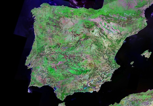
Spain and Portugal Shorelines - 1:5,000,000 Landsat ETM+ Images (6-Images)
The above image of the Iberian Peninsula is a composite made up of six Landsat ETM+ mosaics. As an island person, I'm not much interested in most of this composition. In fact, I am only interested in the shorelines plus or minus 5 to 10 kilometers.

Spain and Portugal Shorelines - 1:100,000 J2 Tiles
So, I decided to create a shoreline image of the Iberian Peninsula. I first tried creating a series of 1:50,000 scale images of the coastline. It took way too many images and the scale did not include enought shoreline detail. I upped the scale to 1:100,000 and systematically created a series of 120 tiles to cover Spain and another 51 tiles to cover Portugal. Whereas the Landsat ETM+ images are 865 MBs in size, the 1:100,000 tiles for the entire Spanish and Portugese shorelines are 190 MBs in size (each tile about 1 MB).
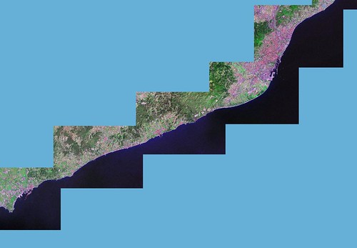
N-31-40_2000 (100) ES - 010 J2 (1:400,000)
Let's zoom in and see what one of these shoreline tiles allows us to view. Keep in mind the resolution is 14.5 meters per pixel. So here it goes...
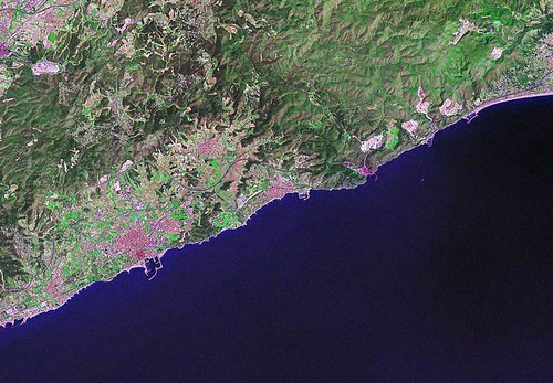
N-31-40_2000 (100) ES - 010 J2 (1:100,000)
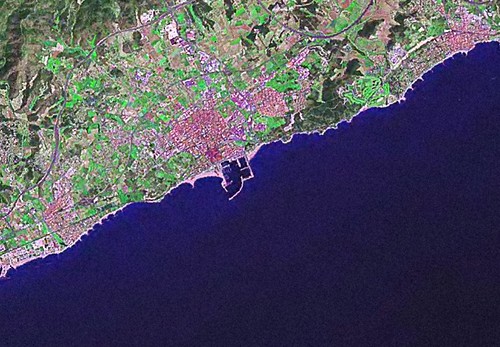
N-31-40_2000 (100) ES - 010 J2 (1:50,000)
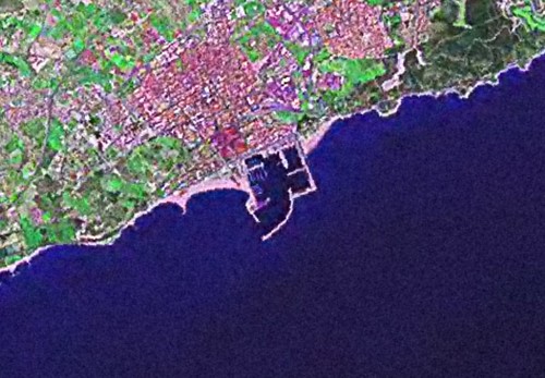
N-31-40_2000 (100) ES - 010 J2 (1-25,000)
If you are interested in Spanish or Portugese shoreline mapping work, these 1:100,000 scale image tiles would do the trick.
Enjoy!
No comments:
Post a Comment