NASA Earth Observatory Image Locator Map
NASA's Earth Observatory is one of my favorite sites. They not only post interesting imagery, but the text explaining the imagery is intelligent, challenging and understandable to the layman. It is a consistently great read. Some time back they revamped their site look and began using an image locator map. I've tried many types of locators for my maps and have not been thrilled with any. Google Maps, which I post to the top of my site, works but not for me. I spend too much time exploring and not enough time making island maps. I had chopped a black and white world map into 3 sections and used the sections when appropriate, but it just didn't work for me. After looking at EO's solution the answer might be to use a copyright free little world map as an island map locator. Two questions remain, Are there any copyright free little world maps available? and Which one will work best for my purposes?
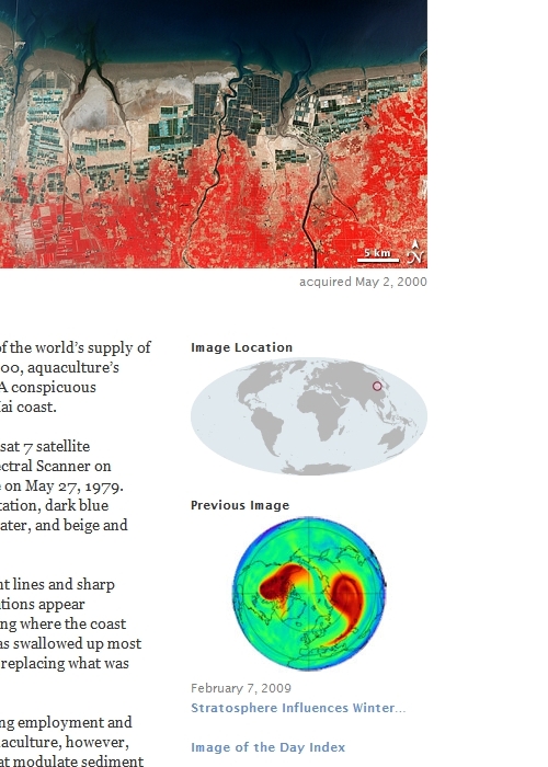
 NASA's Little World
I like this little world. The projection works and the color scheme is easy on the eyes. Adding my "island map is here" symbol would work on this map. I have tried to contact the NASA EO webmaster to see if this map is copyright free. To date, the individual has not answered my question. I suspect it is copyright free as almost all of NASA imagery has moved in that direction. Until I get an official answer from an official NASA webmaster, no dice on this map.
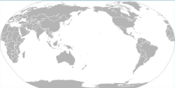 Wikimedia Commons Little Grey World
Originally posted as an SVG formatted world map in Wikimedia Commons, this map intrigues me. First it is Pacific centered. That is a major plus for plotting my work as the majority of the islands I map are located in the Pacific Ocean. The Indian Ocean is also well displayed. The Atlantic Ocean has few islands and those that I would map could be made to show up on this little grey world. This map is definitely in the running as my Little World Island Locator Map.
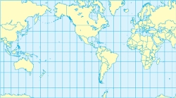 Wikimedia Commons Little Mercator World
Another Pacific centered map that divides the world at the Indian Ocean. I love the color scheme on this map. The yellow land masses show well against the soft blue oceans. The lan/lon grids do not seem to clutter the map. This map could definitely work as my Little world Island Locator Map.
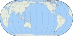 Wikimedia Commons Little Eckert IV World
This little world is my favorite. I like the dusty yellow and blue color scheme. The lat/lon grids are a definite plus. The map is copyright free. I think I'm going to give this little world a try as EVS Islands newest feature, the Little World Island Locator Map.
Enjoy!
No comments:
Post a Comment