View EVS Islands Projects in a larger map

Oman - Landsat ETM+ N-40-25_2000 (1:175,000)
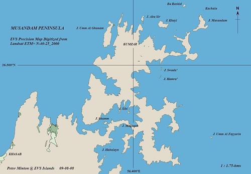
Musandam Peninsula - EVS Precision Map (1-175,000)
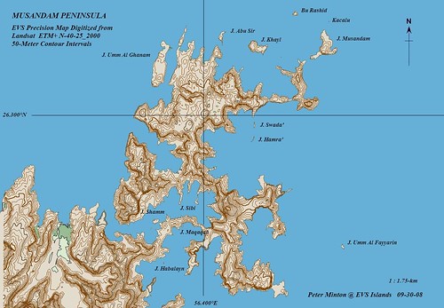
Musandam Peninsula - EVS Precision Map with 50-Meter Contour Intervals (1:175,000)
The above EVS Precision map project of the Musandam Peninsula was completed around the first week in September 2008. It was my last mapping "hurrah" before the start of this school year. I remember loving the look of this unusual piece of land calling it a "peninsula of peninulas.
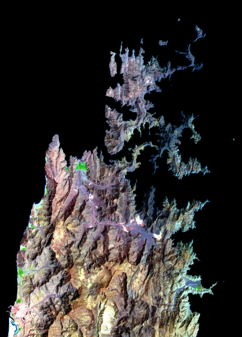
Musandam Peninsula, Oman from Earth Observatory (EO)
It seems that the folks at EO dusted off a 2004 ASTER image of the Musandam Peninsula and posted it to their site today. The peninsula is still lovely to look at!
Enjoy!
No comments:
Post a Comment