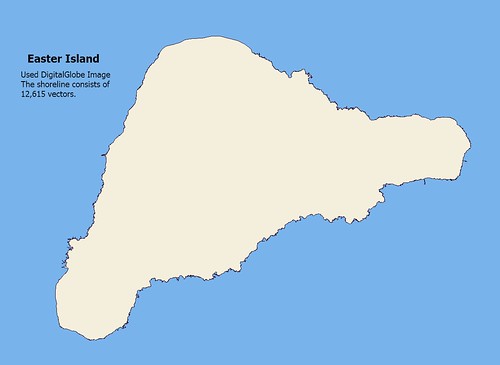
Easter Island - EEVS Map (1:100,000)
This is a continuation of my previous post. EEVS quality mapping requires lots of vectors. As the title states, at this preliminary stage, 12,615 vectors were digitized by me to create this shoreline. I worked in Google Earth using the path tool. The first pass was relatively fast taking about 6-hours. The final pass, the fine tune, took another 3-hours. I will have to work on this shoreline in Global Mapper to finish it. Two parts of the island, the north and western edges will be digitized using Landsat as they are not included in the Google Earth map. I have loads of work to do on this map digitizing layers of information.
My point is that DG imagery is great, but to execute a quality shoreline, one must do lots of digitizing.
Enjoy!
No comments:
Post a Comment