Zooming in Using Vectors
This post is aimed to all readers that are content to look at a picture (image) of a map and never enjoy the thrill of a good vector zoom. When I first began using maps, I was a picture user. Never having been exposed to vectors and their inate characteristic of zooming to amazing levels of detail. I know that the levels of detail are only as good as the original map maker can construct them, but given the right map maker one can discover amazing features tucked away within a vector map. Such as my map of Jabal al-Tayr. Who would have imaged that Mr Minton, yours truly, had his avatar perched on the northwestern plateau of Jabal al-Tayr. I'm sure he is safe, even after the volcanic eruption of a few days ago. He is writing this post after all.
Seriously, the ability to add levels of detail to maps is outstanding in today's world of readily available hi-res digital imagery compliments of Landsat, Google Earth and DigitalGlobe.
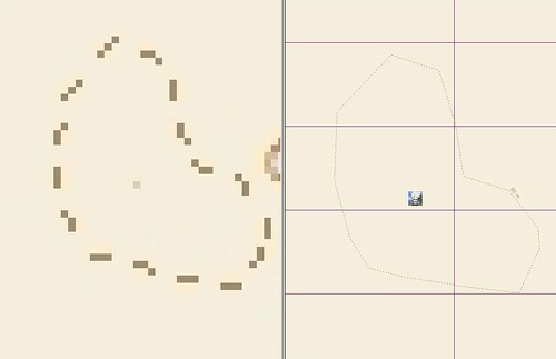
Comparison of a Raster to Vector - Jabal al-Tayr at 1-cm : 1,562-m
So, all of you raster rookies, explore the exciting world of vectors. Once you've been there, you'll never want to go back to static rasters.
Enjoy!
No comments:
Post a Comment