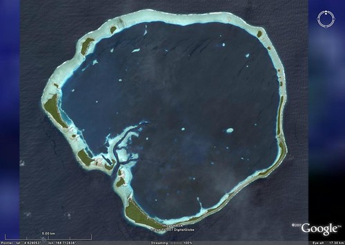
Ebon Atoll - DigitalGlobe Image from Google Earth (1:80,000)
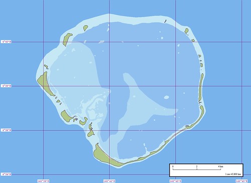
Ebon Atoll - EEVS Marplot Map (1:80,000)
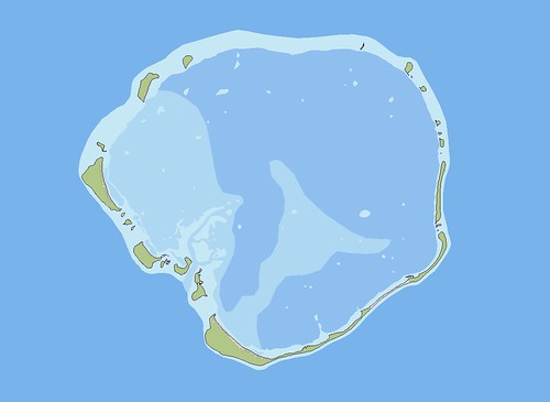
Ebon Atoll - EEVS Map Clear Version (1:80,000)
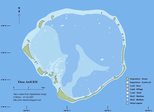
Ebon Atoll - EEVS Map Final Version (1:80,000)
The final map in this series of images is what I would like to be able to consistently produce. It was compiled at 300 dpi size using ImageForge software. The problem I face is one we all share - great objectives, not enough time. A critical key to my map-making avocation is to either get funding so that I can make MY ISLAND MAPS all of the time or retire and make maps. The first option hasn't happened yet, but I always have hope. The second option is still a few years away. So, I just do what I am able to do and make as many maps as my busy life will allow. Enough about me and my "Oh, Woe is me!" situation.
These images were part of a project I completed in July 2007 while on vacation. The first post was Ebon Atoll RM - Preliminary Maps and the second was Ebon Atoll RM - Fancy Map. I took both the clear Marplot map and the Lat/Lon Marplot map, using ImageForge, I added the finer details that I desire for my completed map projects. The final product, fancied up in ImageForge, is a far superior presentation compared to the Marplot product.
Given time - all of my island mapping projects should be of this quality. Anybody have any extra time I can use?
Enjoy!
No comments:
Post a Comment