Por-Bajin (The square is supposed to be red. Go figure.
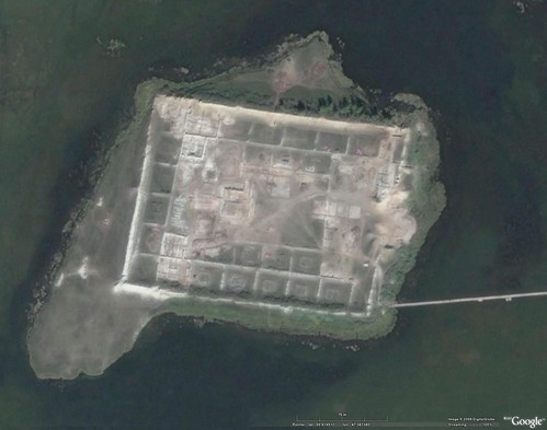
Por-Bajin - DigitalGlobe Image from Google Earth (1:2,500)
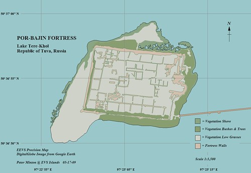
Por-Bajin - EEVS Map (1-3,500)
A map of an island fortress. Talk about romance, adventure and battles always won!
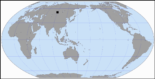
I read a brief article about Por-Banjin on World Island Info's website. This "House of Clay", the translation of Por-Bajin, is a hot spot for archeological research. Between 2007 to today, researchers and hundreds of students from Russia and a few other countries have made there way to this small island located on Lake Tere-Hole to attempt to understand and reconstruct this mysterious mandala like fortress. Follow this link to Ladybond's blog for an interesting series of photos of this small island.
My map of the island is based on DigitalGlobe imagery taken from Google Earth. I worked at a very large scale to digitize the various layers that make up the map. I show much more vegetation than the photos in Ladybond's blog shows.
This map is a preliminary cartographic sketch of the island, but one that clearly shows the curious Uighur fortress.
Enjoy!
No comments:
Post a Comment