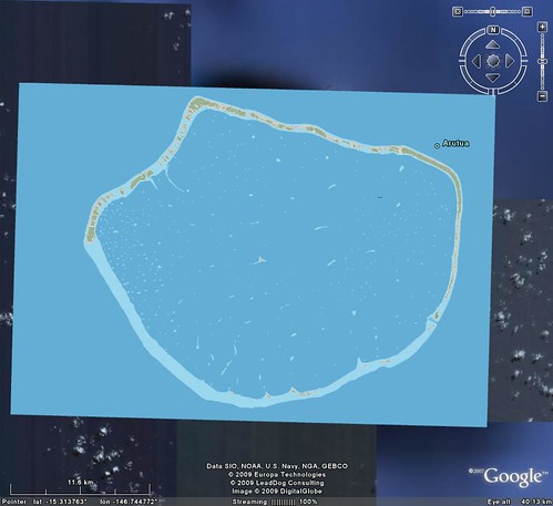
Arutua Atoll - Four EVS Precison Layers Loaded into Google Earth
A reader of EVS Islands suggested that I load my island maps into Google Earth. He had taken the Flickr image of Arutua Atoll and created a Google Earth overlay. He did all of this work by manually matching the EVS image to the GE base image. After viewing his work I had another Wow! moment. It turns out Global Mapper creates KML/KMZ files. I have generated GE KML/KMZ overlays previously, but I thought I would try something different. Using the Arutua Atoll vectors, I created a separate overlay for each vector layer using PNG image format's transparency function. I began with my Reef Shallow and the ocean as my first layer without any color transparency.
Arutua Atoll - Base Layer Reef Shallow with Ocean (1:75,000)
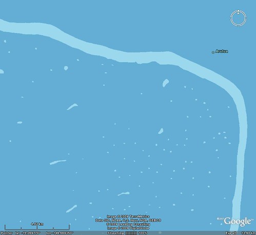
The other three layers would rest atop this base layer. The next three layers were EVS Island Polygons, Vegetation and Inland Water. I made the blue ocean the transparent color for these layers. This resulted in overlays consists of 12 georectified tiles per layer neatly positioning an EVS precision island map into GE.
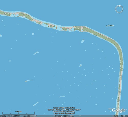
Arutua Atoll - Four Layers Loaded into Google Earth (1:75,000)
Loading these four layers in proper order (Reef Shallow, EVS Island Polygons, Vegetation and Inland Water) one is able to switch layers on and off to view this atoll from a number of unique perspectives. Pretty cool!

Arutua Atoll - Four Layers in KMZ Files
I have posted the four layers and you are welcome to download them and try them out. They are at the following links: Reef Shallow, EVS Island Polygons, Vegetation and Inland Water. Remember to load Reef Shallow first, EVS Island Polygons second, Vegetation third and Inland Water last. The map is at a scale of 1:75,000. That allows you to view the map at the 4.00 kilometer center read using GE's scale bar. If you take the map below that scale it begins to get ugly fast (blurred lines and colors). Hope you find it interesting. Comments are appreciated, especially KML/KMZ types. I am certain there must be a way to load all layers within one KML/KMZ packet and still be able to retain the ability to pile layers on top of each other and exercise control over whether a layer is on or off. Thanks in advance.
Enjoy
No comments:
Post a Comment