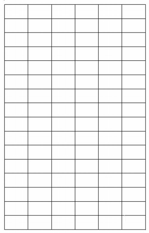
6 x 16 Grid
Using DigitalGlobe imagery from Google Earth, I selected 96 carefully sequenced screenshots, each at a scale of 1:15,000. From these screenshots I was able to create this complete 4.56MB standalone cloud-free image of Guadalupe Island MX. The 6 x 16 grid shows how the screenshots were arranged to complete the mosaiced image.
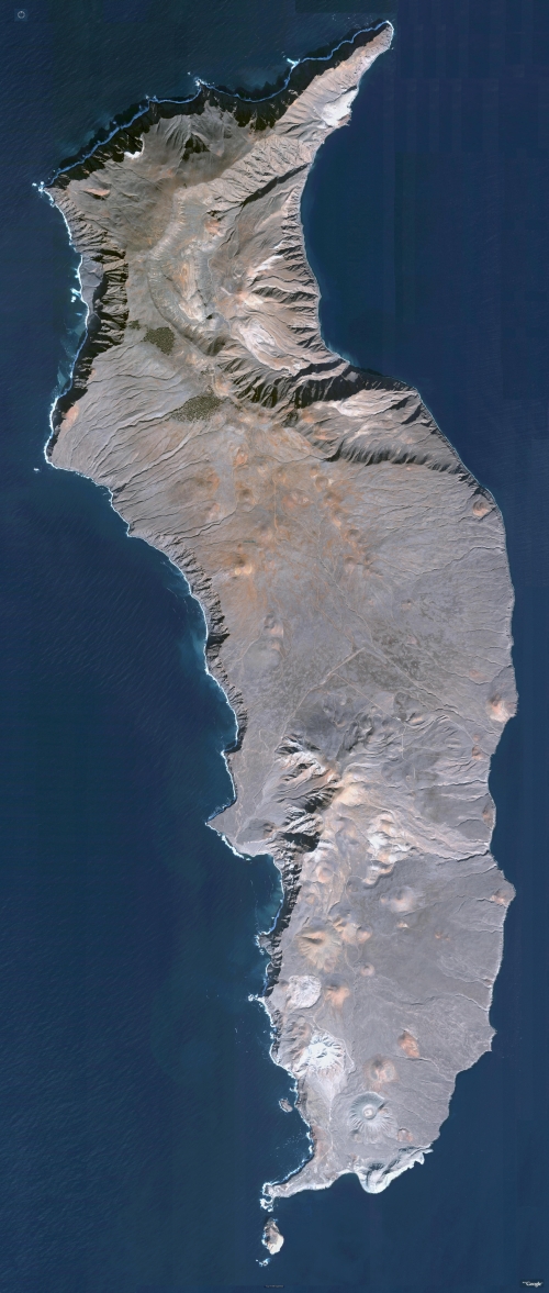
A Cloud-Free Image of Guadalupe Island, MX (1:15,000)
The experienced reader knows all one really needs to do is log into Google Earth, center on Guadalupe Island and zoom onto and about the island. So, it is fair to ponder, "So what!"
My image is portable. I load my DigitalGlobe imagery taken from Google Earth, into my mapping software, Global Mapper, and explore the island at my leisure. I made sure to credit both sources, using their standard image trademarks (see very bottom of image).
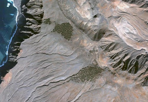
Guadalupe Island - Cypress Groves (1-25,000)
Now, I can zoom above the cypress groves located in the upper portions of the island...
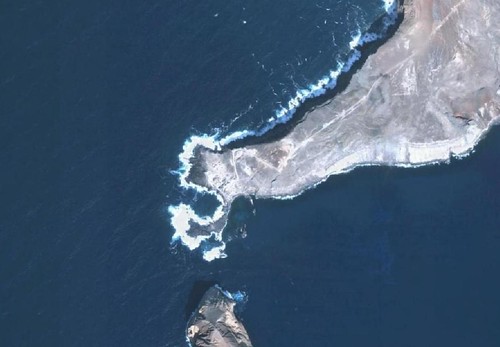
Guadalupe Island - Southern Portion (1-12,500)
Or head south to view the area of one of two semi-permanent villages located on the island.
Enjoy!
No comments:
Post a Comment