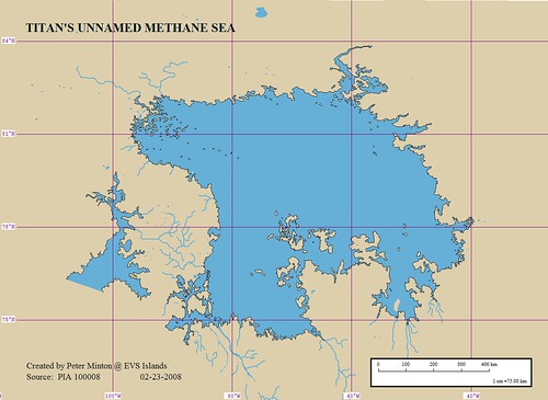
Titan's Unnamed Methane Sea with Lat-Lon Grid (1-750,000)
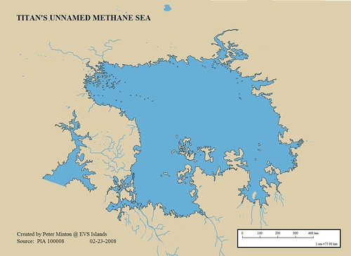
Titan's Unnamed Methane Sea without Lat-Lon Grid (1-750,000)
My Titan Island Post generated lots of interest. To finish it off, I went ahead and digitized the shoreline of the unnamed methane sea my previous post's islands are located in. It is one of the largest bodies of liquid known to exist on this moon of Saturn. This body of liquid methane, ethane and nitrogen is about the size of Lake Superior.
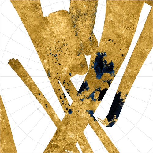
Titan Unnamed Methane Sea Base Image PIA10008
Now for my question - Where is 0° longitude on this base image? Are my coordinates correct? I took the original image and georectified it by designating the longitude at the lower center as 0°. I moved clockwise identifying 90°W, 180°W and 90°E. The first latitude below 90°N, I identified as 80°N. Is this sequence correct? If anyone actually knows the proper orientation of the base image, let me know so I can properly georectify my map? Until I find out differently, the above coordinates associated with my map will have to do.
Enjoy!
P.S. - The following is my Titan's Unnamed Methane Sea map with corrected longitudes, thanks to Jason Perry, a Titan mapper.
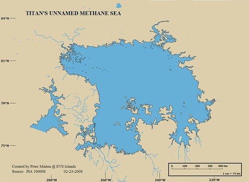
Titan's Unnamed Methane Sea With Corrected Longitudes
No comments:
Post a Comment