I am not against a good resolution world shoreline. In my personal GIS, I have four world shorelines. They are: 1) 1:2,000,000 2) 1:250,000 WVS 3) 1:63,500 NGA PGS 4) 1:1,000,000 VMAP0. They all serve a purpose. I use the 1:2,000,000 for global and multi-country projects. The 1:250,000 WVS is used for most of my preliminary work on islands. For example, to locate individual islands and island group. Since I've loaded NGA PGS vectors, they have become my default layer for small island preliminary digitizing projects. I get to study the island prior to working on it in Global Mapper. Now, I have 1:1,000,000 VMAP0 world shorelines. They will most probably replace much of my use of 1:2,000,000 shorelines.
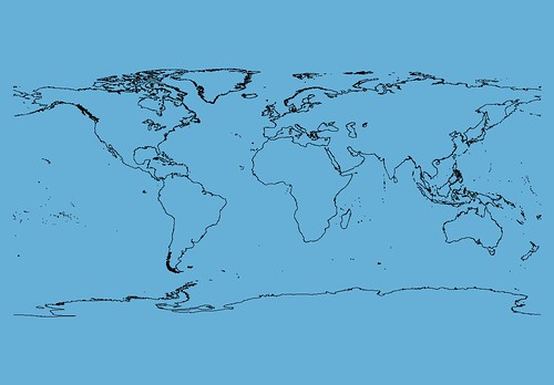
Why not share the wealth! I constucted this 1:1,000,000 scale world shoreline using VMAP0's shorelines. I simply loaded the boundary layers of the four area files, Europe, North America, South America and Asia, and combined them into a single global layer. I have uploaded this file and will share it with those of you needing a 1:1,000,000 scale world shoreline.
Select the above link and download the file. It is in SHP format.
Enjoy!
No comments:
Post a Comment