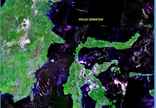
Pulau Sematan ID - Offshore Island Near Pulau Sulawesi
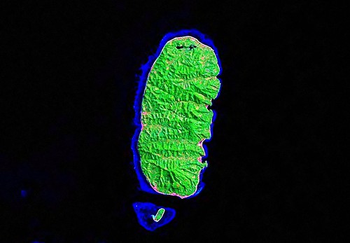
Pulau Sematan ID - Image From Landsat ETM+ N-50-00_2000 (1:62,380)
Located off of the northern coast of Pulau Sulawesi, is Pulau Sematan. After much research I have learned it is a dive destination and home to a few hardy fishermen. It is covered with lush vegetation and based on it's proximity along the equator, it is most likely, hot, humid and wet.
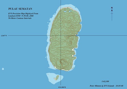
Pulau Sematan ID - EVS Precision Map With 50-Meter Contour Intervals (1:62,380)
The map itself was fast to do. From start to finish it took about 3-hours. Nothing particularly challenging, just a nice EVS precision map of a small island.
Enjoy!
No comments:
Post a Comment