View Larger Map

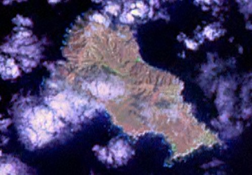
Isla la Plata - Landsat Image S-17-00_2000 (1:20,000)

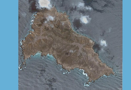
Isla la Plata - DigitalGlobe Island Mosaic from Google Earth (1:20,000)
A group that removes feral animals from islands asked if I could help them with a map of Isla la Plata located off the coast of Ecuador. I said sure and began to search for a map or image of the island. The only map was something that was painted on a sign posted on this island. Not very accurate, but colorful. I tried the Landsat ETM+ image and found it to be obscured by clouds at a number of points on the island. I finally looked into Google Earth and found the DigitalGlobe image that covers the island. Except for clouds over the northern tip of the island, the image is exquisite. To create the above mosaic which is 12.4MBs and 4500 x 4120 lines, I copied 24 images (1280 x 911) and pieced them together. This image was georectified using Global Mapper, Landsat ETM+ and Google Earth coordinates.

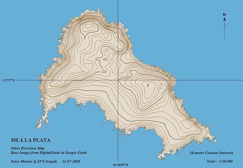
Isla la Plata - Other Precision Map (1-20,000)
This is the resulting map. The parties wanting to use the map did not require a vegetation layer so all that I had to map was the island shoreline. That took about 4-hours to map, not just the shoreline, but all of the offshore rocks as well. Finally, using SRTM 90-meter and 30-meter data, I generated 10-meter contour intervals. As so often happens, the 10-meter to 30-meter contours ended up in the ocean. I spent another 4-hours adjusting contours so that they resided on the island and not in the deep blue sea.
This map is done. I hope the party using it will find it helpful. I reminded them that they could not publish this map without permission from DigitalGlobe. It is my experience that DigitalGlobe is very open to allowing maps derived from their data to be used for educational research and perhaps for the removal of feral animals from fragile islands.
Enjoy!
No comments:
Post a Comment