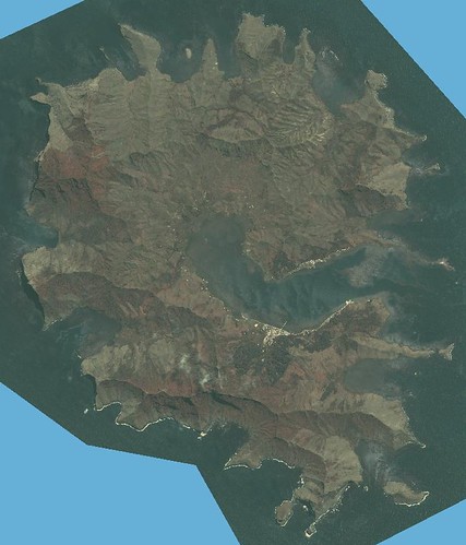
Rapa Iti Island - Ikonos Image (1-55,000)
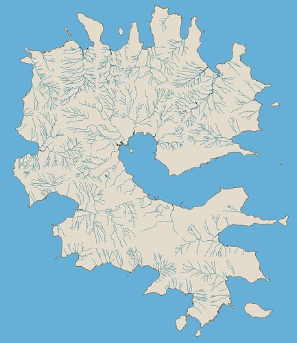 >
>Rapa Iti Island - Other Precision Map (Ikonos Image) Hydrography Layer (1-55,000)
I believe Rapa Iti's hydrographic layer is almost complete. I always QC my digitizing before I determine a layer finished. I am watching the Pacific Life Holiday Bowl (score Okla St 31 and Oregon 42) and composing this post. A few moment ago my mother-in-law asked what my map showed. I explained that I had mapped all of the places where water would flow during a rain storm. She thought that was interesting, but liked the colors best.
The QC of this layer will involve a final classification of the streams. They will be classified as permanent streams identified by vegetation, stream width and visible water. Any or all of these characteristics evident will cause me to classify the stream as permanent. All other streams will be classified as intermittent streams.
This system of classification will have to do short of me visiting the island for a month during the rainy season and spending the time hiking to various points about the island to study water flow. Oh well, one can dream.
Enjoy! And Happy New Year!
No comments:
Post a Comment