Bikar Atoll RM (ARB-127)
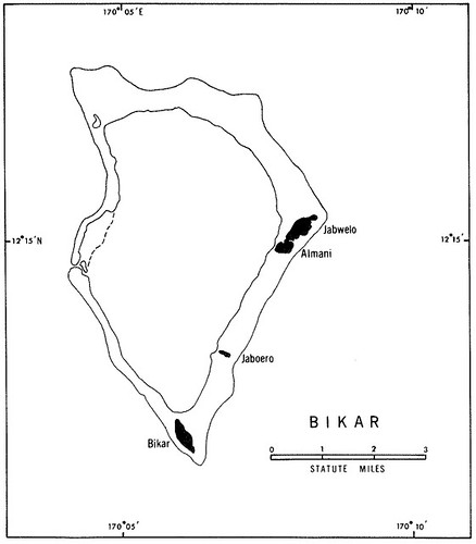
Bikar Atoll (H.0. 6024) ARB-127
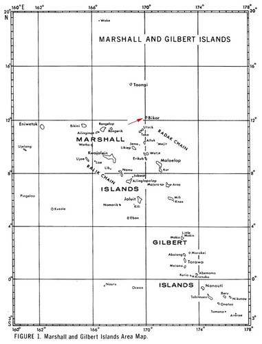
This is the second atoll within the Radak Group that I have mapped in EVS precision. The first atoll was Taongi and now Bikar. Using the maps contained in ARB-127 as inspiration, I have decided to busy myself with maps in this group of atolls. Bikar, like Taongi, is small with only 0.9 sq km of land area. The atoll does contain vegetation, a small forest dominated by pisionia grandis trees. Other than that, the vegetation is scrub size and lower. The atoll is a great nesting place for seabirds.
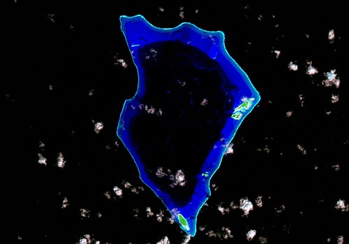
Bikar Atoll - Landsat Image from N-59-10_2000 (1-75,000)
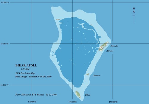
Bikar Atoll - EVS Precision Map (1-75,000)
The Landsat image used as my base is cloud free and excellent in detail. I did my digitizing at 1:12500 scale, one not practical for viewing, but good for map making. The map took about 2-hours to complete.
Enjoy!
No comments:
Post a Comment