Eiao Island - Google Earth Image (1-60,000) as of March 2007
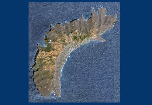
Eiao Island - Digital Globe Mosaic (1-60,000)
Google Earth and all of us end users have sure benefited from their relationship with DigitalGlobe. From the first blurry image in GE to the exquisite DG mosaic, Eiao Island has never looked better.
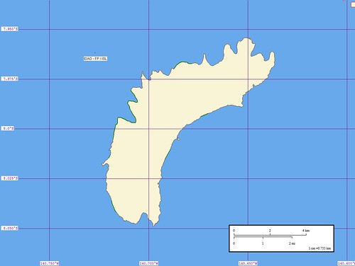
Eiao - Map (1:60,000) as of May 2006
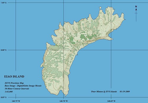
Eiao Island - EEVS Precision Map (1-65,000)
My first map of Eiao Island constructed from WVS vector files. In May 2006, I had yet to discover the full extent of resources available to all of us neo-cartographers. I routinely use Global Mapper as my mapping platform. My imagery comes from my Landsat ETM+ library of all the world's shorelines or from DigitalGlobe imagery found in Google Earth. My final island map products are getting better and better. And that's good.
Enjoy!
No comments:
Post a Comment