Utirik & Taka Atolls
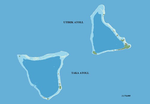
Utirik & Taka Atolls - EVS Precision Map (1:170,000)
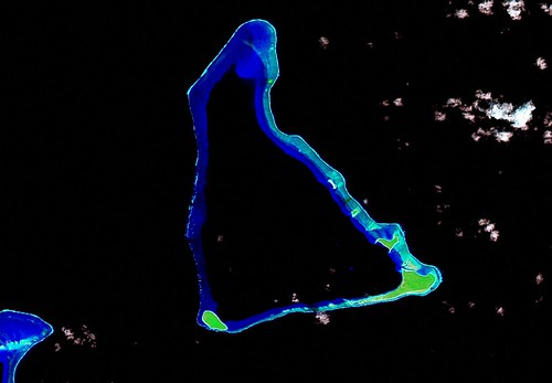
Utirik Atoll - Landsat N-59-10-_2000 Image (1:100,000)
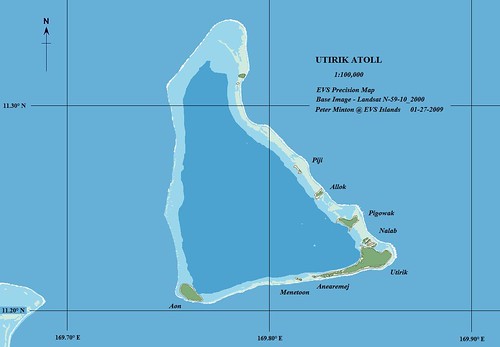
Utirik Atoll - EVS Precision Map (1:100,000)
Utirik Atoll is the northernmost RMI atoll with a permanent population. 490 people harvest copra, catch fish and work at any other means to put food on the table and maintain a quality of life suitable for them and their families.
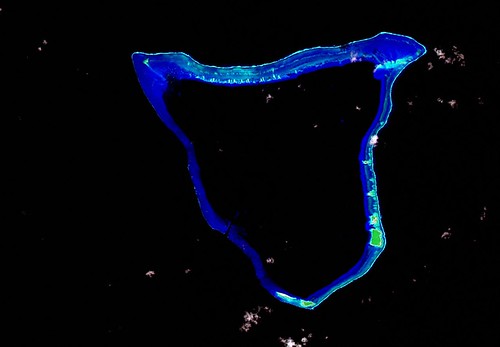
Taka Atoll - Landsat N-59-10_2000 Image (1:100,000)
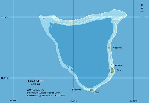
Taka Atoll - EVS Precision Map (1:100,000)
About 6-miles away is the uninhabited Taka (or Toke) Atoll. People from Utirik Atoll periodically visit Taka Atoll to harvest copra and catch fish.
The maps took 6-hours to complete. If you study the maps closely you will notice two additional reef layers of information. I added Reef Awash for very shallow reef and Reef Break for the area of reef marked by breaking waves. All other layers, Island Polygon, Vegetation, Reef Shallow and Reef Deep are included as well. This was a satisfying map making effort.
Enjoy!
No comments:
Post a Comment