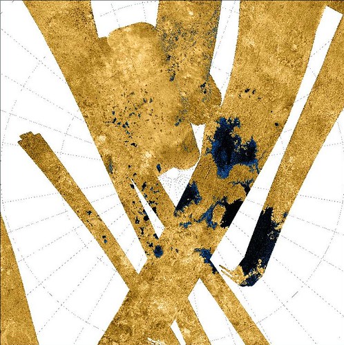
Titan's Methane Seas - Radar Swaths PIA 10008 Modified
Reviewing my RSS science links, I came across an article describing Titan's liquid methane seas that were imaged by the Cassini spacecraft. The article contained a link to the base image of these seas,
PIA10008. Studying these seas, I noticed what looked like islands. There they were swimming in a methane sea. Not one or two, but an entire archipelago of islands scatter about the sea. I figured I would construct a map of the islands. To begin my extraterrestrial island mapping project, I downloaded the base image, PIA10008. I was able to determine the appropriate lat/lon grid and this allowed me to georectify the base image. Using Global Mapper v9.01 software, my favorite digitizing software, I created vector shorelines for the islands within the methane sea. A few days later, I went ahead and digitized the entire shoreline of this unnamed methane sea.
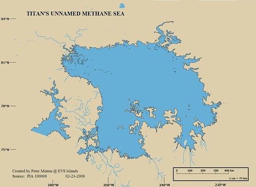
Titan's Unnamed Methane Sea
I selected a funky mustard color for the land and pretty blue for the sea and rivers. The resulting map was posted and then the world came to view my creation. I have made so many maps of islands that I failed to appreciate just what I had fashioned - a first map of an extraterrestrial sea and islands. I feel I've made more satisfying maps of islands, but this other worldly depiction is still widely viewed, vigorously discussed and enjoyed by thousands of readers.
Life is swell when you are able to create something appreciated by an audience of first time visitors to your website. I am pleased that my efforts have fired the imagination of island lovers throughout the world.
Enjoy!
No comments:
Post a Comment