World Vector Shorelines (WVS) is the default shoreline for most government produced maps. It is also used extensively by many in the commercial mapping arena to produce their products. It is an excellent vector map file that shows shorelines of the world in exquisite detail.
That said, I searched for a detailed map of the Tokelau Islands at a large enough scale that all three of the atolls (Atafu, Nukunonu and Fakaofo) could be displayed.
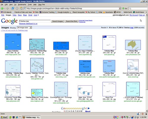
Google Image Search Results - Tokelau Map
Every readily available map used the same data source for their shorelines - WVS. The best scale to display all three atolls is 1:750,000. I thought that WVS would be the ideal source - Wrong! Knowing what I know about atoll shapes and the importance of including the reef as part of the shoreline, WVS was woefully inadequate.
The answer was simple - merely create a new vector file of these three atolls. Using Global Mapper and Landsat ETM+ as base imagery, I worked at a scale of 1:62,750 and digitized the land areas and reefs of these three atolls. Using Marplot I created this new layer of mapping information called Enhanced Vector Shoreline-Rough (EVS-R).
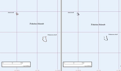
EVS-R and WVS (1-1,000,000)
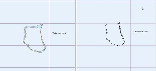
EVS-R and WVS (1-250,000)
Not only is the EVS-R a more detailed image, but it is accurately plotted at this scale. You will notice that the WVS is misplotted further north than it should be.
It is a major improvement over WVS. What do you think?
Enjoy!
No comments:
Post a Comment