Tuamotu Atoll LIIMs
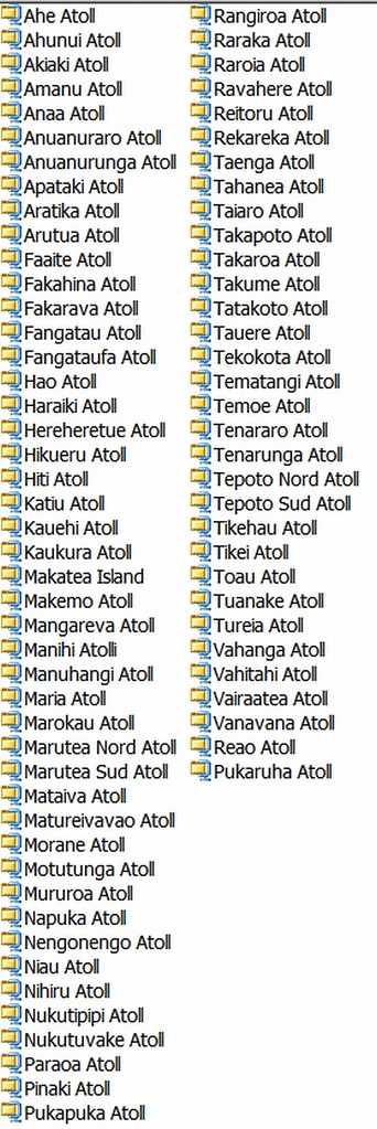
List of Tuamotu Atoll LIIMs
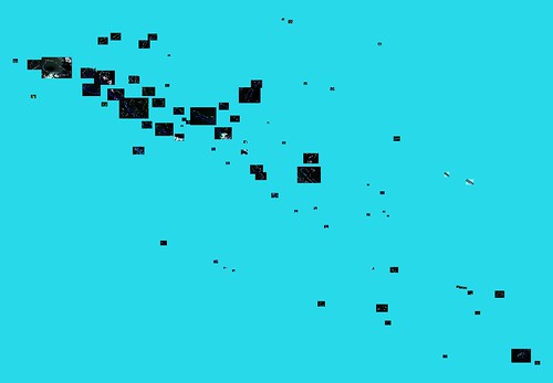
What is a LIIM? It is an island image extracted from Landsat ETM+ imagery - Landsat Island Image Mosaic - LIIM. I have just completed LIIMs for the Tuamotu Atolls. These low-lying atolls are northeast of Tahiti and southwest of the Marquesas. I have created a total of 78 LIIMs - one for each atoll. They range in size (MBs) from Rangiroa Atoll at 28.7MBs to some of the small atolls under 1MB. As I did with the Greek and Turkish islands, each zipped file contains a JPG image and two georectifying files, they are 14.5 meters per pixel resolution and 300 DPI. I did not save them with DEM files as most of them are very low lying islands. All files are UTM projection with WGS-84 datum. A handful of the LIIMs have cloud-obscured areas, but overall the images are quite clear.
Before DigitalGlobe imagery in Google Earth, I did all of my island mapping with Landsat imagery. I would love to continue using DigitalGlobe imagery, but I feel the copyright restrictions are too cumbersome to deal with. Using Landsat imagery, one can map to their heart's content. One could even make money off of their mapping. Wouldn't that be a kick?
The same offer I made with my Greek and Turkish LIIMs applies to the Tuamotu Atoll LIIMs - drop me a line if you would like to try one of these out. I will email a link where you can download the appropriate LIIM. All I ask is that you give me some feedback as to their usefulness and ease of use. So, if you would like to try one of the Tuamotu Atoll LIIMs, drop me a line.
Enjoy!
No comments:
Post a Comment