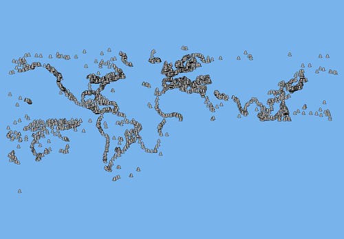
 World Port Data with Southern Hemisphere Data Misplotted
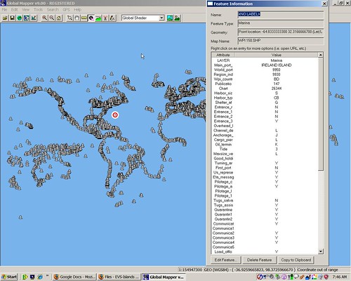 World Port Data Showing Attributes
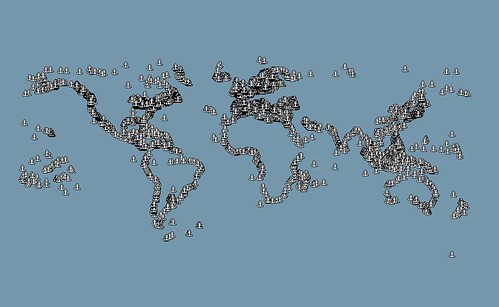 World Port Data with the Southern Hemisphere Misplots Corrected
I hate to mess up, especially when it comes to reworking perfectly good data. In my original post concerning World Port Index Data, I failed to notice that large portions of the southern hemisphere were misplotted. It turns out that a negative longitude should have read positive. In other words I had the East in the West.
Now is a good time for me to remind all of you, use this data at your own risk. I do the best that I can with the data, software and expertise I have. Almost all of the time, I do excellent work. Sometimes, though, I do misplot data.
The WPI data comes from NGA data, Pub-150. Initially, I had extracted the data from MS Access into MS Excel, loaded the file and reworked it so it could be plotted. Unfortunately, I messed up on data in the southern hemisphere.
I have reworked the misplotted points and have them positioned correctly. I understand if you are leery about the quality of this data, but I am almost certain that all of the misplots have been corrected. Regardless, the World Port Index data is available, in SHP format, for download at this link. Good luck with it. If you find problems with the data, let me know and I will correct them ASAP.
Enjoy!
No comments:
Post a Comment